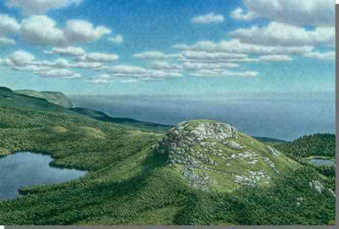
 Poised on the eastern edge of the highland plateau above the Cabot Trail, French River Wilderness Area is one of the largest and most rugged protected areas in Nova Scotia.
Its diverse terrain extends from coastal dunes and lagoons on St. Anns Bay to stunted fir forests on the Cape Breton Plateau. In between, across an elevation gain of about 500m, habitats include steep river canyons, hardwood ravines, small remote ponds, plateau lakes, talus slopes, old growth hemlock terraces, and open and treed bogs.
Incised river canyons, especially Barachois River, Indian Brook and French River, provide dramatic contrast to the surrounding highlands.
With North River Wilderness Area and other nearby protected lands, French River Wilderness Area contributes to a broad natural corridor that supports wide-ranging wildlife species, such as endangered Canada lynx and American marten. It is also home to many species of uncommon birds and rare arctic/alpine plants. Atlantic salmon still return to some of the rivers every year to spawn.
The 3 km Red Island Trail provides access to the shores of St. Anns Bay. This is an easy coastal hike along the lower Barachois River, Barrachois Pond. St. Anns Bay and MacDonalds Big Pond.
For those seeking more of a challenge, remote portions of French River Wilderness Area can be a destination for extended wilderness hiking and exploration. But the terrain is rugged and there are currently no managed trails.
The wilderness area also offers opportunities for angling and hunting.
About 2 km of electrical transmission line and 750 m of distribution line pass through the wilderness area near the Cabot Trail. Nova Scotia Power (NSPI) retains the authority to operate and maintain these powerlines.

