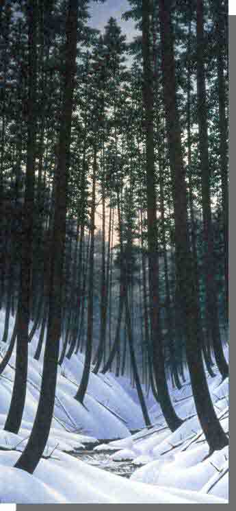
Portapique River Wilderness Area is centered around the mixed forest canyon of Portapique River. The canyon and the highly dissected ravines of its tributaries cut through the ancient till-mantled rounded granite of the Cobequid Mountains, the backbone of mainland Nova Scotia. Mature to old-growth coniferous forests, dominated by red spruce and scattered hemlocks, flourish in the cool microclimate along the lower slopes of the Portapique River canyon and tributaries. Pure hardwood and mixed wood forests, typical of the Cobequids, dominate the mid and upper slopes.
Portapique River is a refuge for the rare blacknose dace, a small fish which occurs only in upland and mountainous streams. Downstream, Atlantic salmon habitat depends on the predictable and clean water flows protected by the wilderness area’s undisturbed forests. The wilderness area also sustains quality habitat for endangered mainland moose, which are sensitive to disturbance.
The slopes, gorges and cascades along the river corridor, with their older forests, provide wilderness travel experiences sheltered from the sights and sounds of surrounding land uses. There are currently no managed hiking or backcountry ski trails in this wilderness area.
The “Swinging Bridge” trail, between Castlereagh and Dominique Meadow Brook (Sutherland Lake), is designated for snowmobile, all-terrain vehicle and off-road motorcycle use. This trail is jointly managed by the Snowmobilers Association of Nova Scotia (SANS), All-terrain Vehicle Association of Nova Scotia (ATVANS) and Nova Scotia Off Road Riders Association (NSORRA) under agreements with Nova Scotia Environment and Climate Change. This is the only trail open to motorized vehicles.
Portapique River Wilderness Area was designated in 1998 and expanded by about 50% (974 hectares) in 2022. Designation of an additional 154 hectares adjacent to the area’s southwestern boundary will come into effect, subject to the completion of geoscience research and expiration of any mineral rights.

