

 Clattenburgh Brook Wilderness Area protects ecosystems of the Quartzite Hills and Plains Natural Landscape, an inland landscape, in which changes in forest, bog and barren ecosystems parallel changes in bedrock.
Meguma Group bedrock forms large scale folds, resulting in the topography dominating the Clattenburgh Brook area. Sharp, regional scale fold hinges, spectacularly visible in aerial photographs, result in sub- parallel ridge/swale units on fold limbs, where erosion- resistant quartzite beds form low ridges interspersed with swales developed on less resistant, interlayered slate beds. Wetter terrain, streams, and lakes occur in the lower lying areas, parallel to bedding in the rocks, or striking sharply across it where regional, narrow, northeast-trending fractures are superimposed on more pervasive bedrock structures.
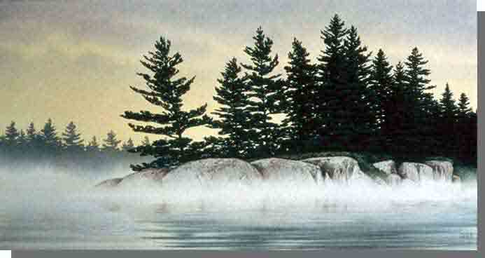
The gentle topography of the rocks is expressed in the repeating parallel ridges, dominated by dry barrens with bare rock or thin soils supporting woody shrubs and lichens, with stunted black spruce, larch, white pine, red maple, and other species taking hold in semi-barrens where soils permit. Less extensive well drained black spruce, balsam fir and white pine forests also occupy ridges. Intervening swales are either boggy, hosting sphagnum mosses and shrubs, or where drainage is slightly better, forested with black spruce and larch. Watercourses are flanked by fens. In the north, an extensive bog complex straddles the wilderness area boundary.